Mapping & Data
From Field Data to Finished Mapping.
DIMCO processes survey, hydrographic, and aerial data into practical mapping, drawings, surfaces, contours, profiles, sections, point clouds, and client-specific digital deliverables.
CAD Mapping & Drafting
Professional Mapping Built from Surveyed Data.
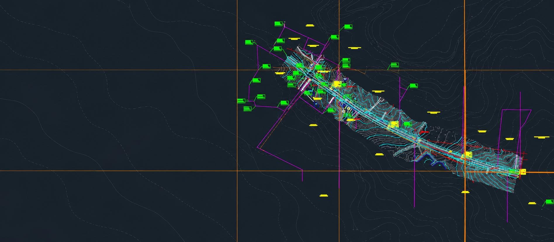
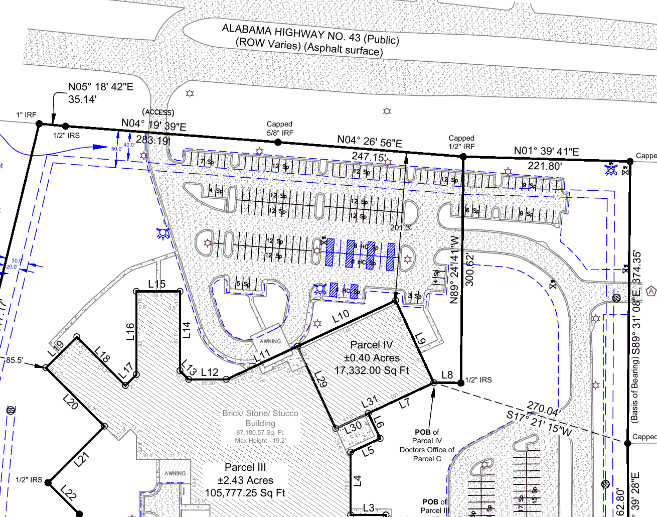
DIMCO drafts in AutoCAD Civil 3D and MicroStation, working from field observations, deed and plat research, control, and hydrographic and aerial data. Drawings are organized around what the project is for—a recordable plat, a design base map, a construction file or a waterway chart.
- Boundary plats and written legal descriptions
- Topographic base maps and design surfaces
- Deliverables built to client and agency CAD standards
- Files in DWG, DGN, DXF and ESRI formats
Terrain, Contours, Profiles & Sections
Representing the Shape of the Ground.
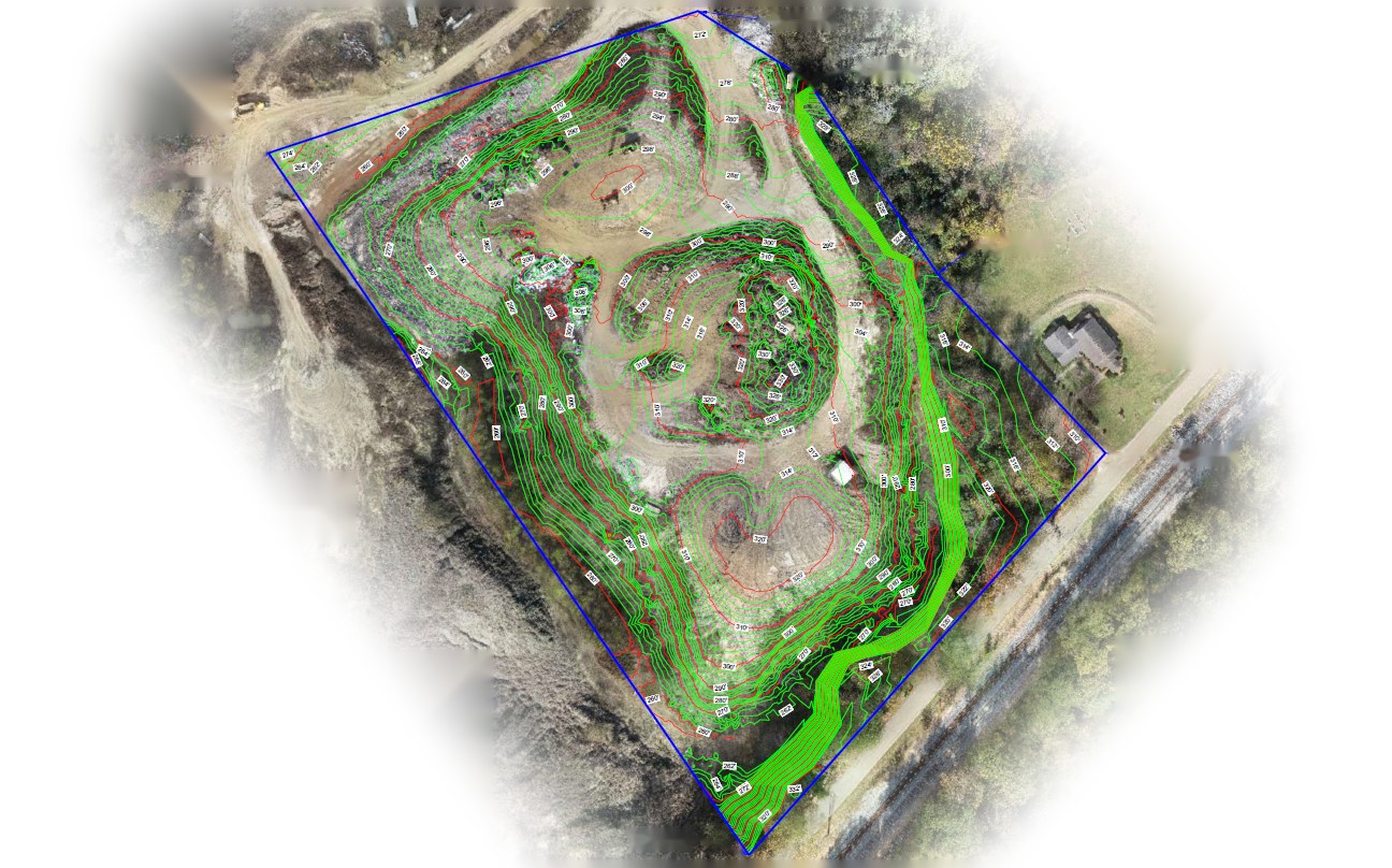
Survey points become surfaces, and surfaces become the contours, profiles and cross sections engineers design from. Comparing two surfaces gives cut/fill and earthwork volumes.
These products support levees, drainage, bank stabilization, earthwork and site development.
Point Clouds & Aerial Processing
Processing Large Aerial Datasets into Usable Information.
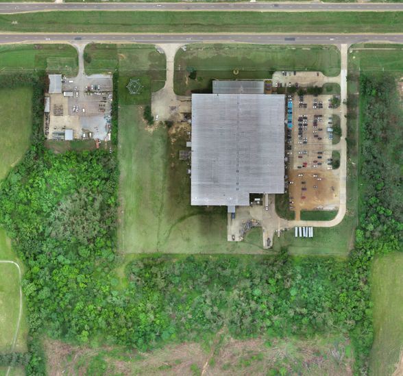
Drone flights are processed in Pix4D into orthomosaics, point clouds and surface models, checked against ground control, and brought into CAD alongside the rest of the survey—so aerial data and ground survey end up in the same drawing.
Hydrographic Data Processing & Mapping
Turning Measurements Below the Waterline into Mapped Surfaces.
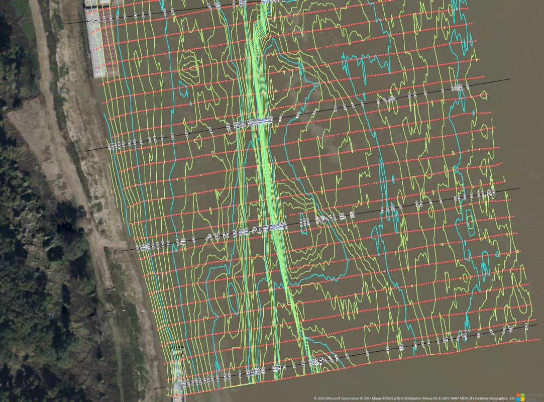
Single beam and multibeam soundings are edited in HYPACK, reduced to the project datum—NAVD88, mean sea level or the Low Water Reference Plane—and turned into bathymetric surfaces, depth contours, channel profiles and cross sections. Pre- and post-dredge surfaces are compared for dredge quantities.
Control & Quality
Data Has to Be Organized Before It Is Useful.
Coordinates & Datums
We work in state plane, UTM, geographic and local coordinate systems on NAD27 or NAD83, with elevations on NAVD88, mean sea level, mean low water or the Low Water Reference Plane—converting between them as part of routine processing.
Quality Control
Every plat is checked against our QA/QC checklist under the direction of a licensed surveyor before it is sealed, and hydrographic work is supervised by a Certified Hydrographer.
Need Mapping or Data Deliverables?
Tell Us What Information You Need from the Project.
Whether the source is land surveying, hydrographic surveying, aerial mapping, or a combination of field methods, DIMCO can help turn collected measurements into practical mapping and digital deliverables from our offices in Vicksburg and Corinth, Mississippi.
Request Mapping & Data Services