Land Surveying
Professional Land Surveying for Projects of Every Scale.
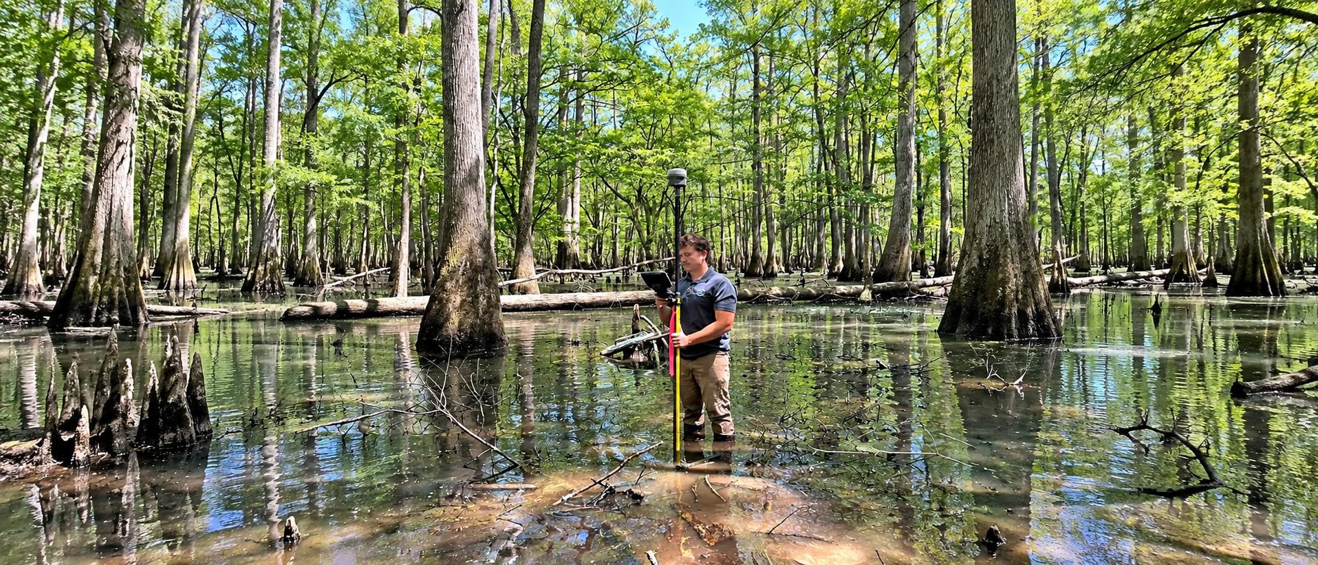
From individual property boundaries to large rural, commercial, construction, conservation, and infrastructure assignments, DIMCO provides professional land-surveying services backed by experienced personnel, modern equipment, and in-house mapping capabilities.
Professional surveying staff licensed in Mississippi • Louisiana • Alabama • Tennessee
Boundary, ALTA & Property Surveys
Know Where Your Property Begins and Ends.
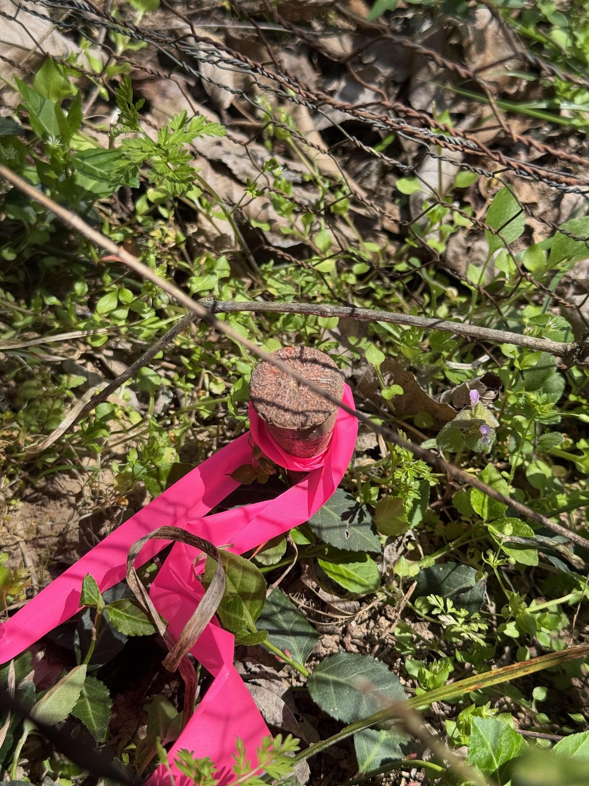
Every boundary survey starts with research and ends with evidence on the ground. DIMCO recovers and sets corner monuments, retraces prior surveys, and prepares plats and written legal descriptions for residential, commercial, rural and conservation property. Our clients include the U.S. Fish & Wildlife Service, the USDA Natural Resources Conservation Service, the U.S. Army Corps of Engineers, state agencies, and private entities and individuals.
- Boundary and retracement surveys
- ALTA/NSPS Land Title Surveys for commercial transactions
- Property subdivisions and lot splits
- Court-appointed surveys to help resolve boundary disputes
Topographic, Construction & Control
Accurate Existing Conditions for the Work Ahead.
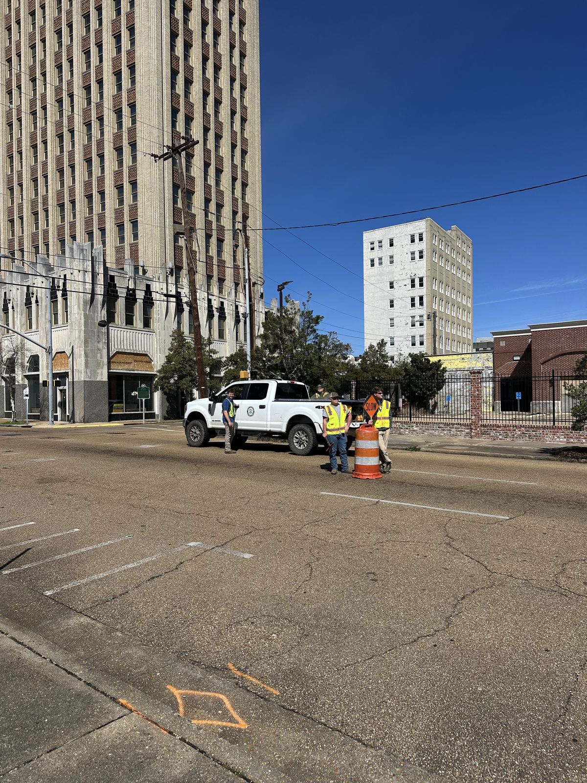
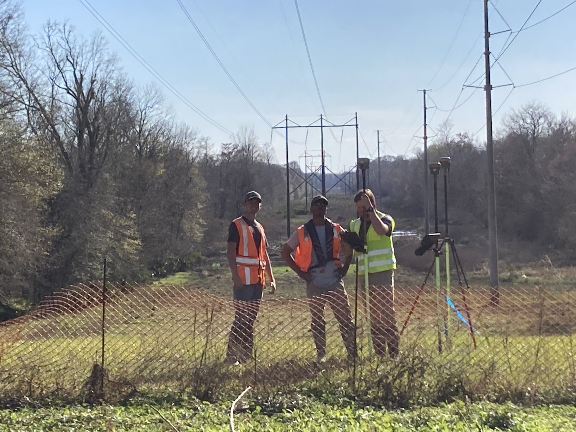
Topographic surveys give designers the existing ground they need, collected with Trimble RTK GNSS and total stations and drafted in AutoCAD Civil 3D. On the construction side, DIMCO provides control, layout, staking, monitoring and as-built surveys.
This work covers levees, drainage and flood-control structures, roads, utilities and private site development.
- Geodetic control tied to NGS monuments with static GPS and digital leveling
- State plane, NAVD88 and project-specific datums
- Construction layout, monitoring and as-builts
FEMA Elevation Certificates
DIMCO performs field surveys and prepares FEMA Elevation Certificates to document building elevations and related site information for floodplain management, insurance, permitting, and property-related needs.
Large Tracts, Easements & Right-of-Way
Experience Where Access Is Not Always Easy.
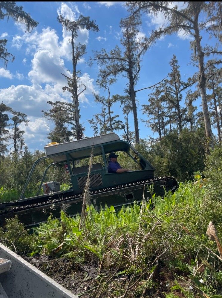
From our offices in rural Mississippi, DIMCO routinely surveys farmland, timberland and pasture from a few acres to several thousand, using ATVs, side-by-sides and jon boats to reach the lines.
- Large timber, farm and conservation tracts
- Hundreds of access and utility easements, with plats and legal descriptions
- Road and highway right-of-way for federal, state, county and city projects
- Hunting, conservation and Wetlands Reserve easements
Records Research
A Boundary Survey Starts Before the Crew Reaches the Property.
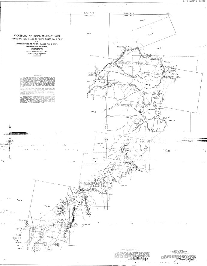
Depending on the project, DIMCO reviews deeds, plats, easements, previous surveys, rights-of-way and adjoining ownership. That research also supports legal descriptions, title questions and boundary disputes.
Record information is considered alongside recovered monuments, occupation, physical evidence and field measurements.
Experience at Scale
Thousands of Land Surveying Projects.
Tell Us About Your Property or Project.
DIMCO can help determine the appropriate surveying service and next step.
Request a Land Survey