ESTABLISHED
1991
Built on Surveying
The Tools Have Changed. The Foundation Has Not.
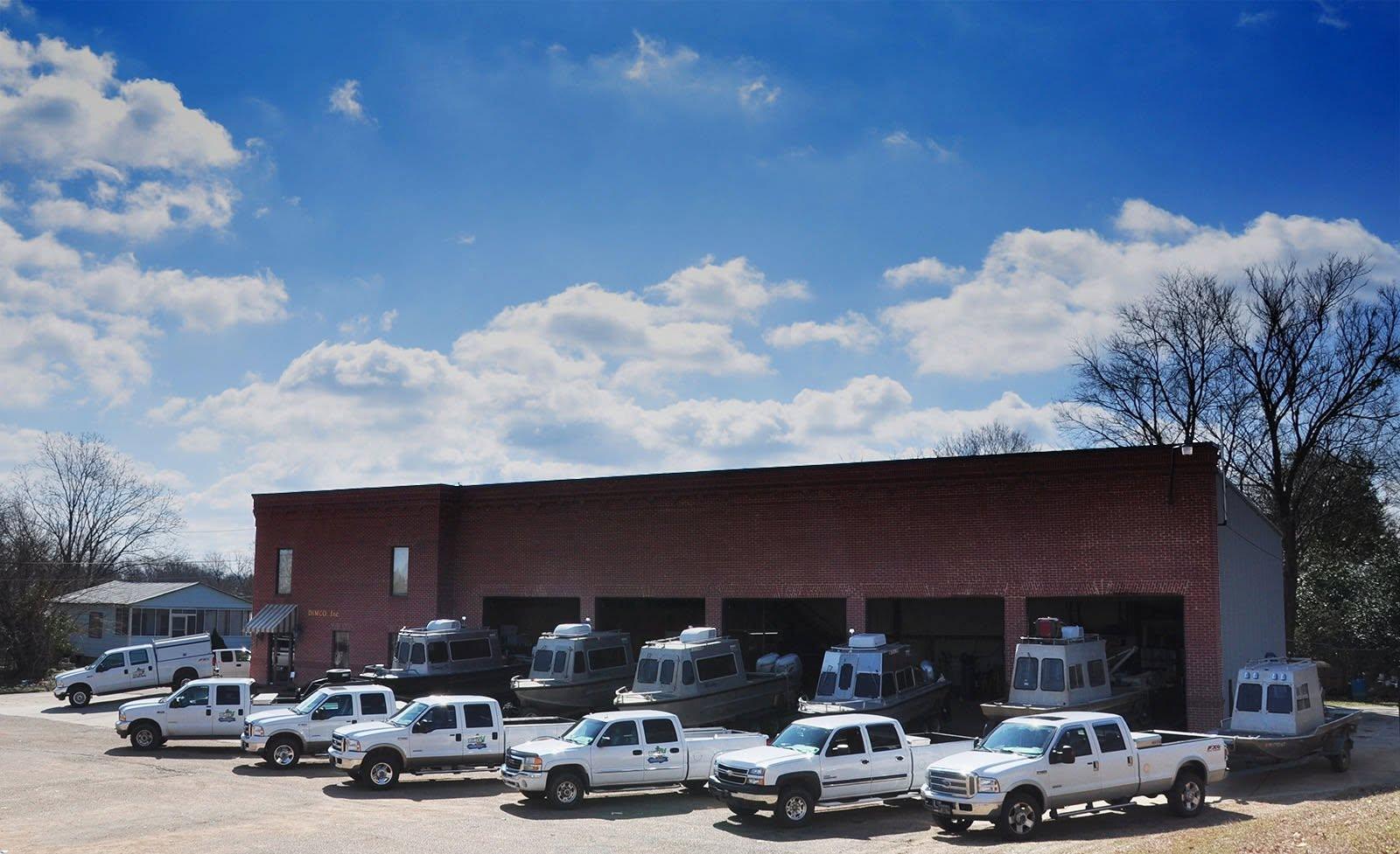
Over three decades, DIMCO has grown into a surveying and mapping company with capabilities across land, water, air, and digital data processing.
Technology has expanded the ways survey information can be collected, processed, mapped, and delivered, but professional surveying remains at the center of DIMCO’s work.
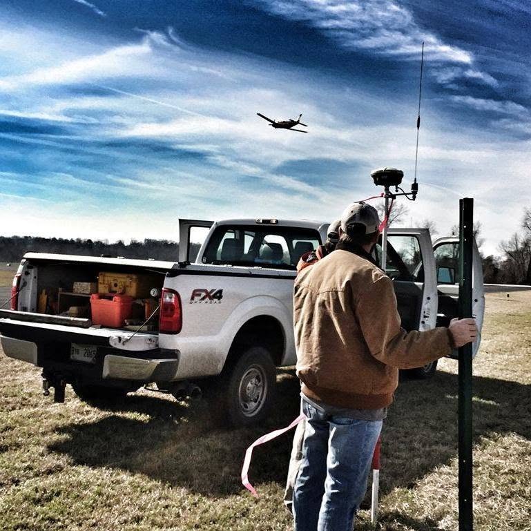
Today, our operations combine traditional field-surveying experience with GNSS, hydrographic systems, aerial data collection, CAD mapping, and modern survey data processing.