Hydrographic Surveying
Professional Hydrographic Surveying from Field to Final.
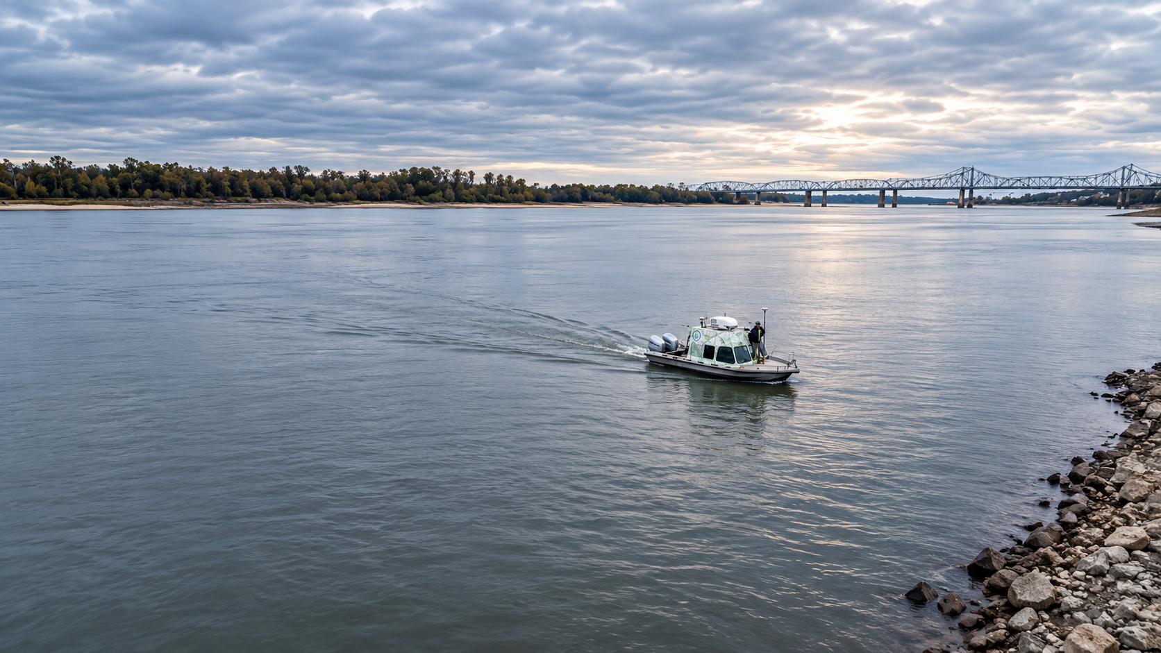
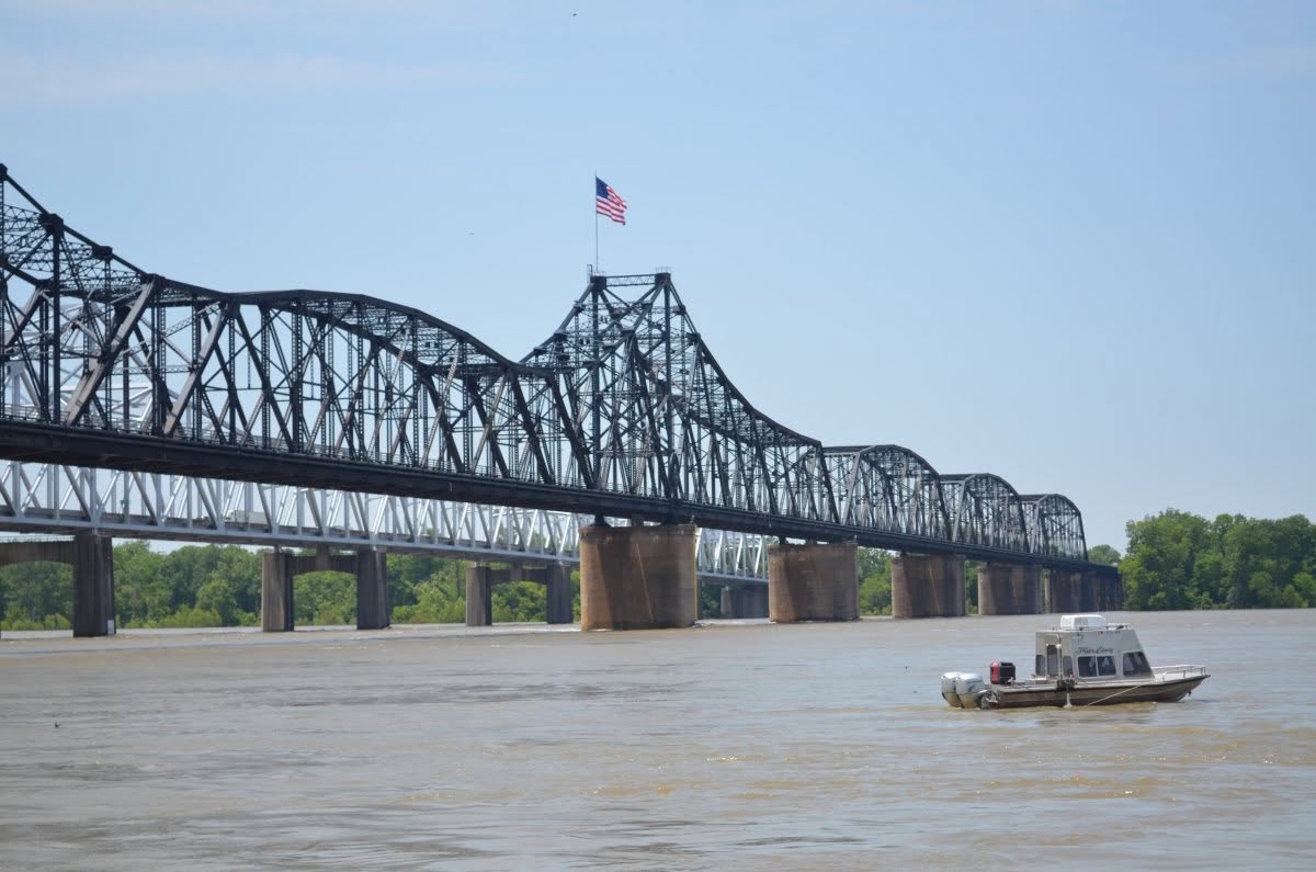
DIMCO provides single beam and multibeam hydrographic surveying and water-resource data collection for rivers, channels, lakes, dredging, navigation, infrastructure, construction, and environmental applications.
Rivers • Harbors • Lakes • Coastal Waters
Bathymetric Surveys
Single Beam & Multibeam Hydrographic Surveys.
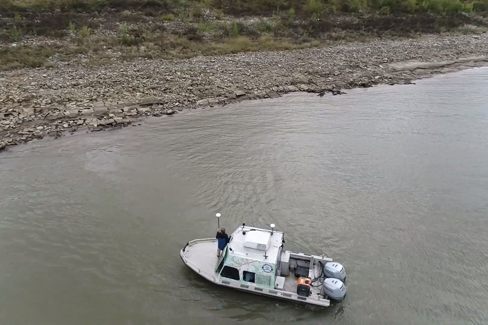
Survey lines are planned in HYPACK before the crew leaves the office. On the water, positions come from RTK or DGPS, and bottom elevations are tied to established vertical control. Single beam surveys cover long reaches and cross sections efficiently; DIMCO’s in-house multibeam system adds full-bottom coverage where more detail is needed.
- Rivers, channels and navigation waterways
- Harbors, ports, lakes and reservoirs
- Bays and coastal waters
- Edited in HYPACK and delivered in the client’s format and datum
Dredging & Navigation Support
Hydrographic Data for Channels, Dredging & Marine Work.
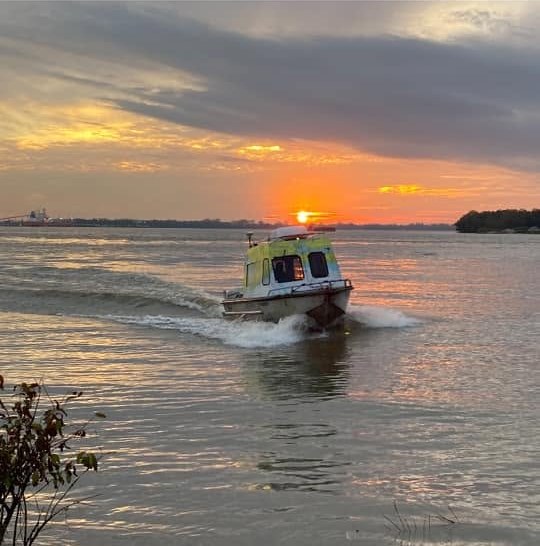
Dredging and navigation projects depend on a clear before-and-after picture: pre-dredge surveys to plan the work, post-dredge surveys to confirm it, and volume computations in between.
- Pre- and post-dredge surveys and volume computations
- Channel condition and navigation surveys
- Revetment and bank stabilization surveys
- Port, dock and terminal surveys
ADCP & Discharge Measurement
Measuring How Water Moves.
Acoustic Doppler Current Profilers measure how much water a river is carrying and how fast it is moving. DIMCO runs a fathometer, DGPS and a heading sensor alongside the ADCP to correct for moving-bed and magnetic errors, so measurements hold up in high, fast flows.
- River discharge measurements
- Current speed and direction studies for docks, moorings and structures
- High-water and flood-condition measurements
- Reports with discharge, velocities, cross-section area and water temperature
Water Stage, Gages & Sampling
More Than Depth Measurements.
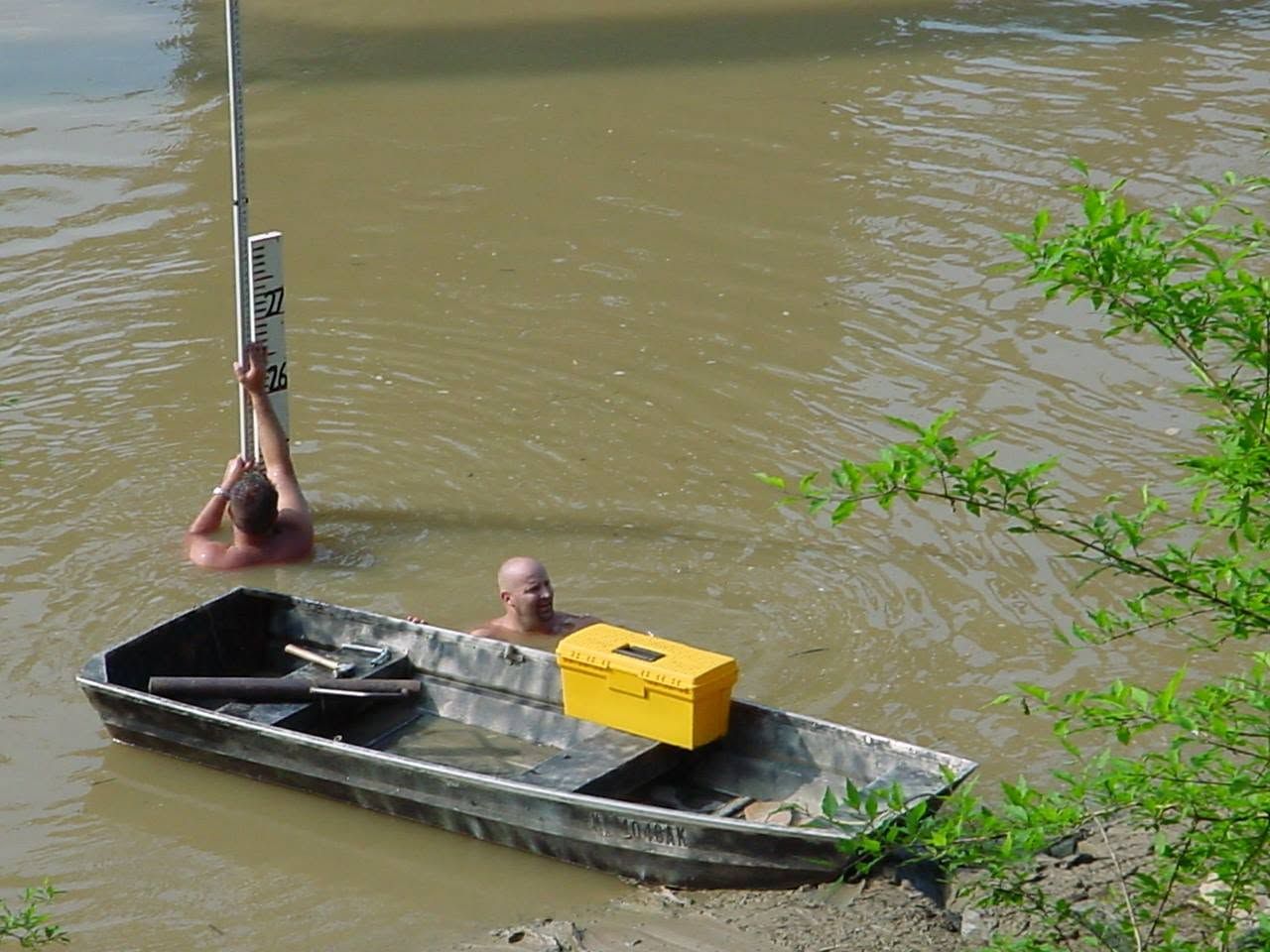
Many hydrographic projects need more than depths. DIMCO installs, reads and maintains staff gages, ties water-surface elevations to project datums, and collects sediment and bottom samples.
- Gage installation, reading and maintenance
- River stage data collection and reporting
- Sediment and bottom sampling with classification
- Water-surface elevations tied to project datums
Shallow Water & Difficult Access
Surveying Where Conventional Access Is Not Enough.
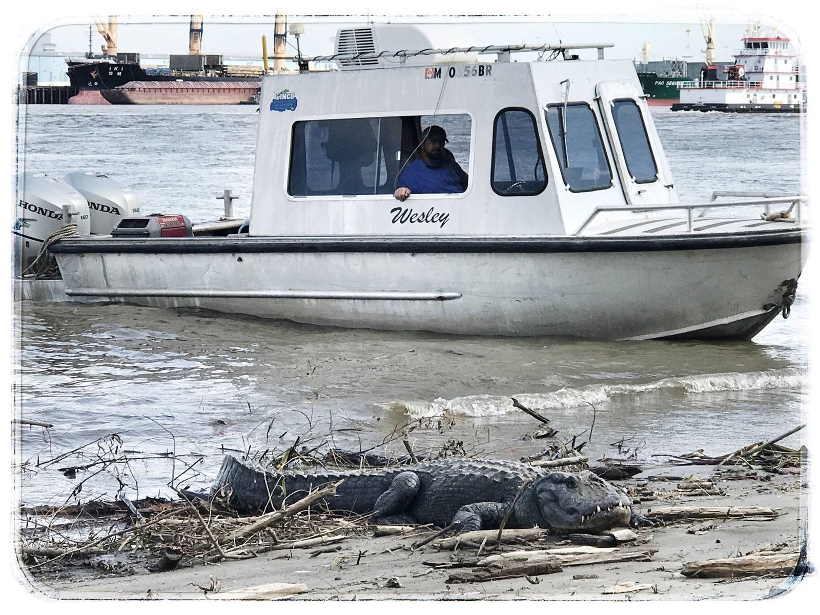
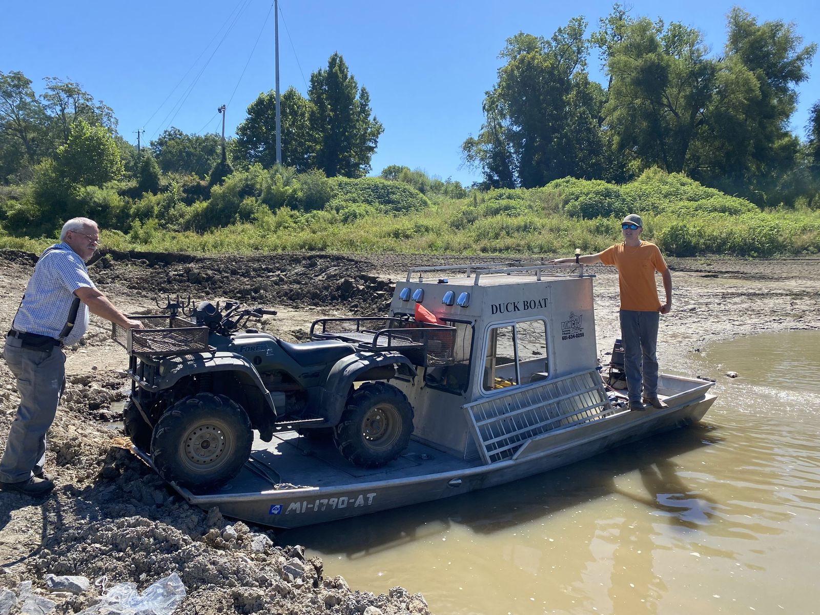
Not every survey can be collected from a 24-foot boat. DIMCO surveys small creeks, canals and marshes from jon boats, air boats and float tubes—and on foot in waders when that is the only way in.
That lets us work in marshes, flooded timber, shallow lakes and other places conventional survey boats can’t reach—tied to the same control as the rest of the project.
Field to Final
Hydrographic Data from Collection Through Deliverables.
Review scope, site conditions and project requirements.
Perform single beam or multibeam bathymetry, ADCP, stage or sampling.
Review and process positioning and hydrographic data.
Develop surfaces, profiles, sections and mapping.
Provide project-specific mapping and digital deliverables.
Hydrographic Experience
Decades of Work on the Water.
Have a Hydrographic Project?
Tell Us About the Waterway and the Data You Need.
DIMCO can help determine the appropriate hydrographic survey, field methods, and next step.
Request a Hydrographic Survey