
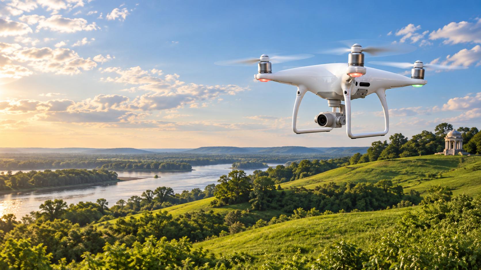
Drone Surveying & Aerial Mapping
Aerial Data from a Different Perspective.
DIMCO combines drone-based data collection with professional surveying, photogrammetry, and in-house processing to produce useful aerial mapping, imagery, 3D data, and project documentation.
FAA-certified drone pilot • Survey-grade ground control
Orthomosaic Mapping
High-Resolution Aerial Imagery Built for Mapping.
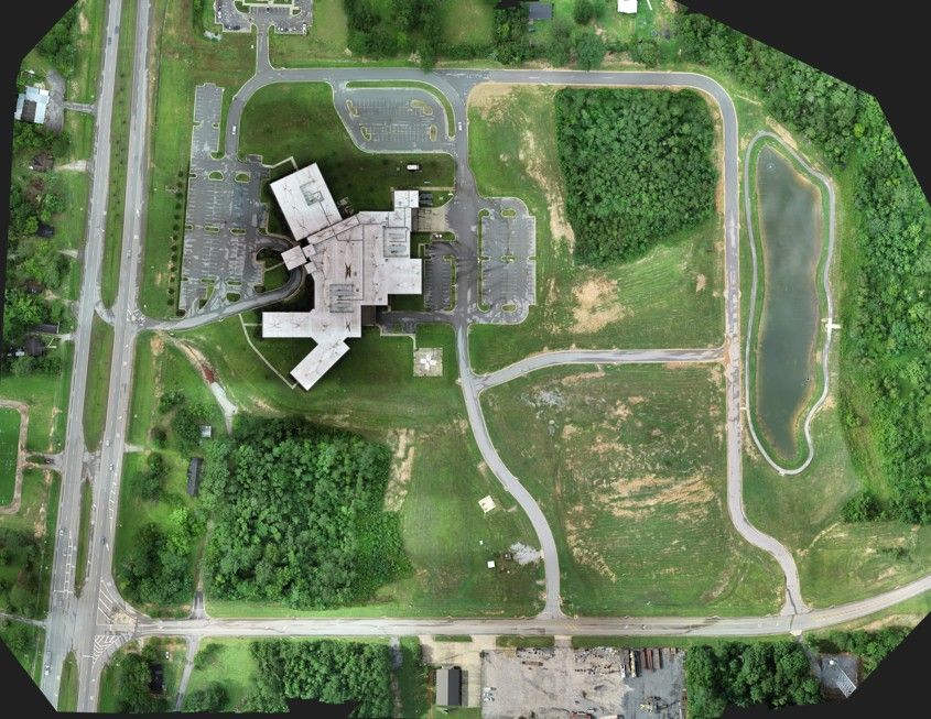
An orthomosaic stitches many overlapping drone photos into one corrected image of the whole site. DIMCO processes flights in Pix4D and ties them to survey control, so the image lines up with property lines, design files and the rest of the mapping.
- Site-wide base imagery for design and planning
- Construction progress and existing-conditions records
- Georeferenced imagery ready for CAD and GIS
3D Point Clouds
Turning Overlapping Images into Three-Dimensional Data.
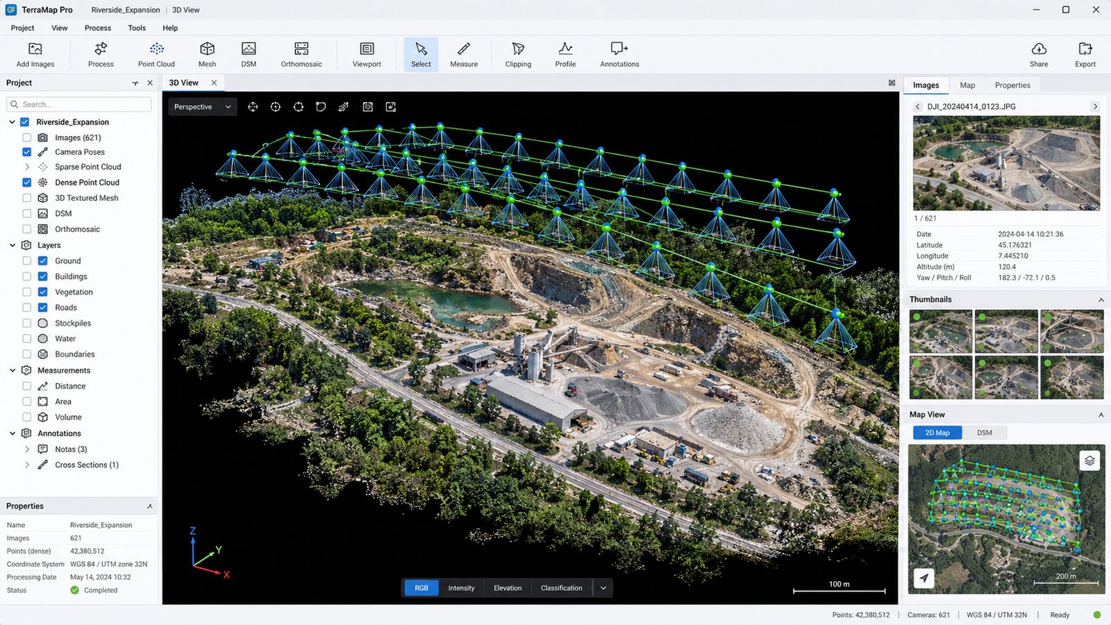
The same flight produces a dense 3D point cloud of the ground, buildings and stockpiles. From it we build surface models, contours and cross sections, or hand the point cloud to the design team.
Photogrammetry measures what the camera can see, so heavy tree cover and tall vegetation still call for ground survey—which is where the combined approach below comes in.
Volume Computations
Measure Stockpiles, Earthwork & Material Inventory.
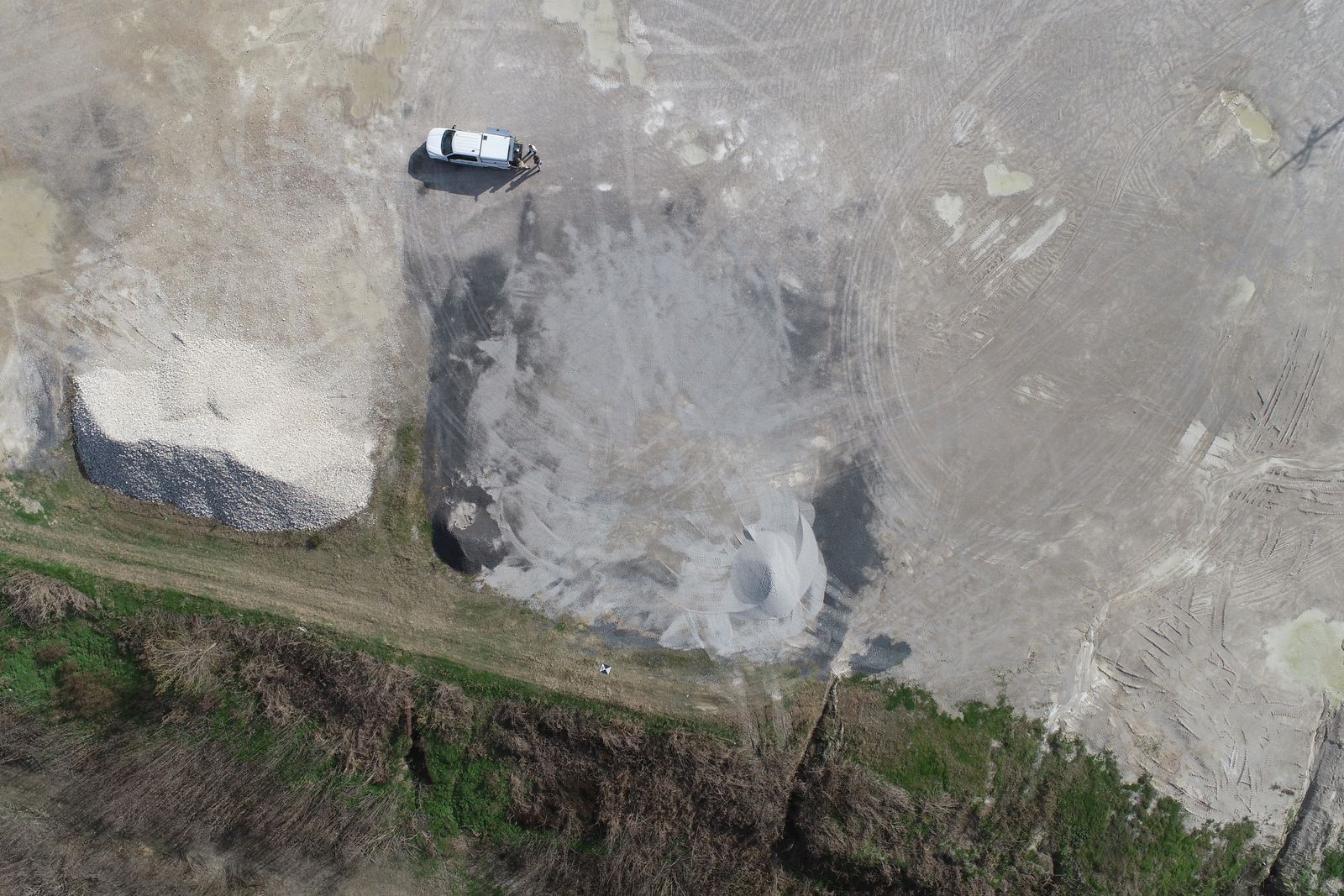
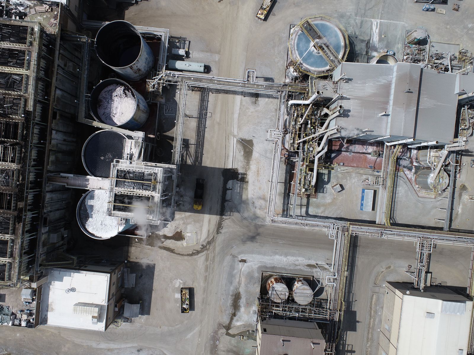
For stockpiles, borrow pits and earthwork, a drone flight covers the whole site quickly and without anyone climbing the pile. Repeat flights compare surfaces over time for inventory and progress tracking.
Aerial Photography & Video
Professional Aerial Imaging Beyond Survey Mapping.
Not every project needs measurable data. For real estate, commercial property, construction progress and presentations, DIMCO provides aerial photography and video.
Imaging flights are simpler than mapping flights, which require planned flight lines, image overlap, survey control and photogrammetric processing. We’ll recommend the one that fits the project.
Aerial + Ground Surveying
Drone Data Works Best When It Is Used for the Right Job.
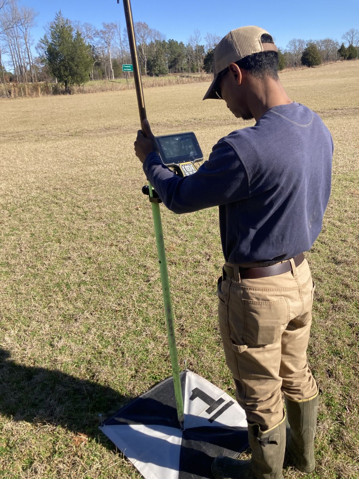
Drones cover open ground quickly; GNSS and total stations measure what the camera can’t—under tree canopy, in ditches, at building corners and on property monuments. DIMCO sets ground control with RTK GNSS and combines both data sets into one surface or drawing.
Aerial Workflow
From Flight Plan to Finished Data.
Define the area, deliverables, flight altitude and ground control.
Set control with RTK GNSS and fly planned, overlapping lines.
Build orthomosaics, point clouds and surfaces in Pix4D.
Check against control; compute volumes, contours or sections.
Provide imagery, CAD and GIS files, and reports.
Aerial Operations
Professional Drone Operations Integrated with DIMCO’s Surveying Workflow.
FAA-Certified Drone Pilot
DIMCO’s aerial operations are supported by personnel with field-surveying experience and FAA certification.
Surveying & Engineering Support
Aerial data supporting topographic mapping and existing conditions.
Construction
Progress imagery, stockpile measurements and site documentation.
Land & Development
Aerial mapping and imagery for properties and development sites.
Real Estate & Commercial
Aerial photography and video for commercial and real-estate use.
Tell Us What You Need to See, Measure or Document.
DIMCO can help determine the appropriate aerial mapping, photography, video, or combined aerial and ground-surveying approach.
Request Aerial Services